Your Company Name
Request a Demo
Request a Demo
Request a Demo
Request a Demo
Read More
15 results found
Featured
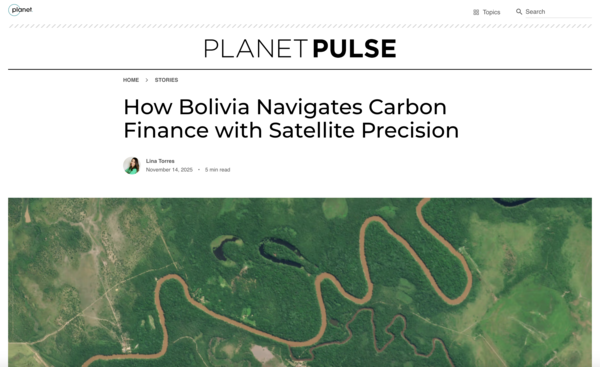
Bolivia Navigates Carbon Finance With Satellite Precision
Featured
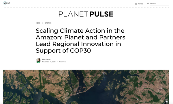
Scaling Climate Action In The Amazon Planet And Partners Lead Regional Innovation In Support Of
Featured
Drying Up in a Flash: What Satellite Data Can Tell Us About Flash Drought Risks and the Regions We Should be Watching
Featured
Forest Carbon Monitoring: A Dove’s-eye View of Global Forest Change
Featured
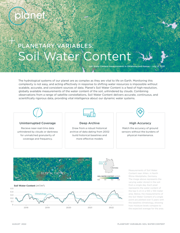
Planetary Variables: Soil Water Content
Featured
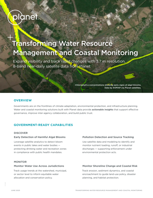
Transforming Water Resource Management and Coastal Monitoring
Featured
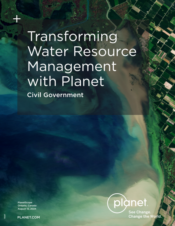
Transforming Water Resource Management with Planet
Featured
Managing Risk in Colombia with High-Res Real-Time Satellite Monitoring
Featured
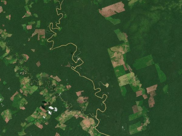
Data Program Continues to Use High-Resolution Satellite Imagery to Help Fight Deforestation and Combat Climate Change
Featured
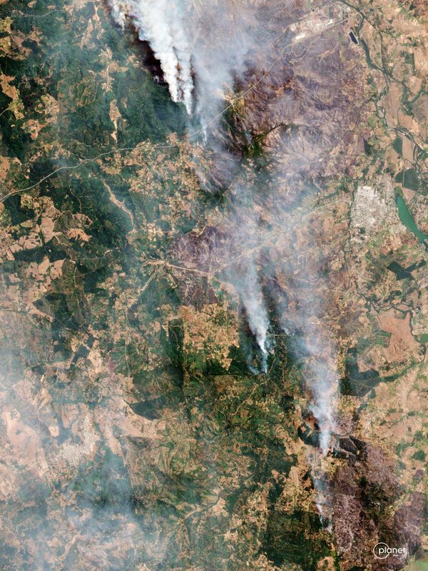
From Floods to Fires: How Latin America is Tackling Disasters with Technology
Featured
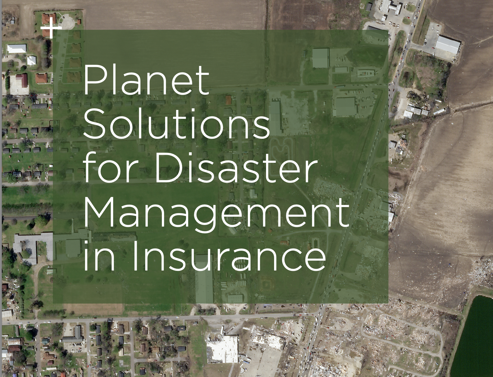
Planet Solutions for Disaster Management in Insurance
Featured
How Forest Carbon Data Helps Bridge Observation to Action
Featured
Forest Carbon Diligence in the Amazon
Featured
How Bolivia Navigates Carbon Finance with Satellite Precision
Featured
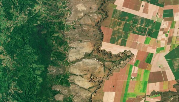
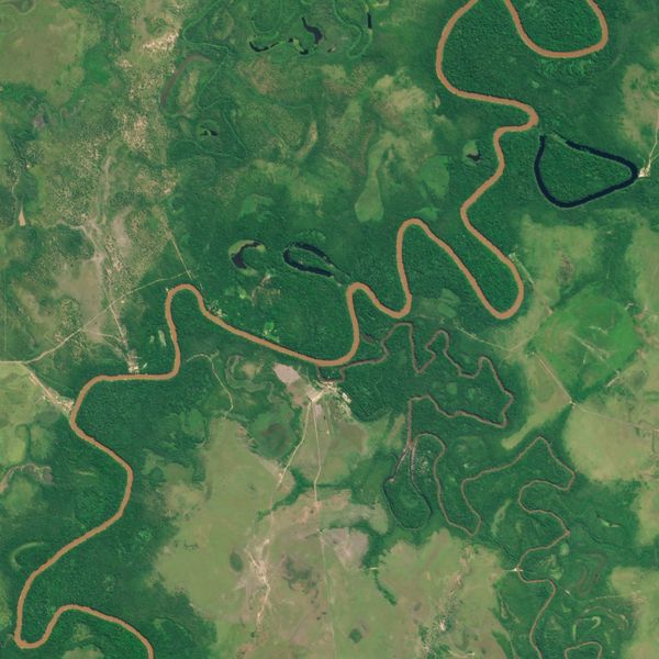
Cop30 - Rivers Shrink Cities Expand Satellites Reveal A Transforming Brazil
Featured